
Lay Myo river water above critical level
The water level of Lay Myo river located east of Mrauk-U town in Arakan State has risen above its critical level and will continue to rise by about three feet in the next two days, the Department of Meteorology and Hydrology announced on 10 July.
10 Jul 2019
Khaing Min Nyo | DMG
10 July, Yangon
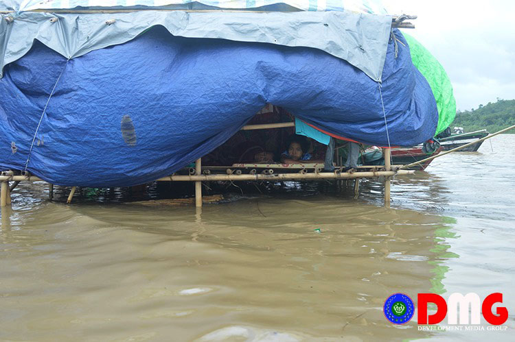
The water level of Lay Myo river located east of Mrauk-U town in Arakan State has risen above its critical level and will continue to rise by about three feet in the next two days, the Department of Meteorology and Hydrology announced on 10 July.
The water level forecast was made according to measurements and calculations received Wednesday afternoon at 12:30 p.m. the announcement said.
It also suggested that residents near the river and low-lying areas in Mrauk-U Township need to be on alert because of the rising water level.
The increased water level has forced IDPs to relocate to higher ground from their temporary huts. About 3000 IDPs from 500 houses are taking shelter at the bank of Lay Myo River near Sin Baw Kaing village in Mrauk-U Township. The riverbanks could not hold back the rainwater so the IDP camp was flooded.
Recently, floods occurred in five wards in Taunggup town and local residents were concerned about their safety.

Top News
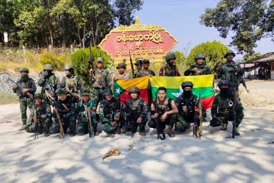
Regime claims recapture of 19 resistance-held towns: Report
By Admin 21 May 2026
Regime bans food supplies to three Mindon villages
By Admin 20 May 2026
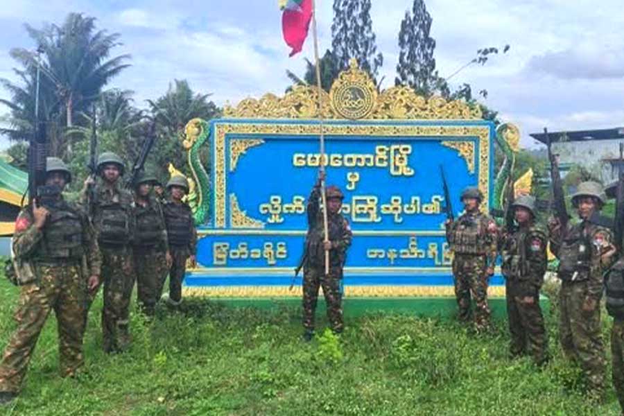
Regime recaptures Tonzang and Mawtaung from resistance forces
By Admin 20 May 2026
HRW accuses Arakan Army of mass killing of Muslims in Buthidaung village
By Admin 20 May 2026